Lake Atitlan is located in the Guatemalan Highlands of the Sierra Madre mountain range. It is 120 km or about a 3 hour drive west north-west of Guatemala City. It has been described as the “most beautiful lake in the world” and is Guatemala’s most important national and international tourist attraction.


Lake Atitlán is the deepest lake in Central America with a maximum depth of about 340 metres. It is approximately 12 km in length and 5 km in width and is 1562 metres above sea level.


The lake basin is volcanic in origin, filling a massive caldera formed by a volcanic eruption 84 thousand years ago. Lake Atitlán is part of the Central American Volcanic Arc. The arc is a chain of volcanoes stretching along Central America formed when the Cocos Plate was pushed under the Caribbean Plate. These volcanoes are part of the Ring of Fire around the Pacific Ocean.
The first volcanic activity in the region occurred about 11 million years ago. Since then the region has seen four separate occurrences, the most recent about 1.8 million years ago which resulted in the formation of the present caldera. This major eruption is known as Los Chocoyos. Approximately 270 km3 (cubic kilometres) of volcanic material was thrown out of the caldera and covered some parts of Guatemala with up to 200 m of ash in some places. This compares with 1 km3 of volcanic material from Mt. St. Helens in 1980 and 10 km3 from Mt Pinatubo in the Philippines in 1991.
Since the end of Los Chocoyos, continuing volcanic activity has built three volcanoes in the caldera. Volcán Atitlán (3537 m) lies on the southern rim of the caldera, while Volcán San Pedro (2402 m) and Volcán Tolimán (3158 m) lie within the caldera. San Pedro is the oldest of the three and stopped erupting about 40,000 years ago. Tolimán began growing after San Pedro stopped erupting, and is believed to be still active. Atitlán has developed almost entirely in the last 10,000 years and remains active, with its most recent eruption having occurred in 1853.


Lake Atitlan is an enhorheic lake, a closed drainage basin that retains water and allows no outflow to the Atlantic Ocean to the east or the Pacific Ocean to the west. The water level is therefore influenced by rainfall, evaporation, seepage, flow into the lake and the limited flow out through several small rivers. Major changes in water levels over the years have resulted in different challenges to the residents of the towns and villages on the lake’s shoreline.
On February 4, 1976, a massive earthquake (magnitude 7.5) struck Guatemala, killing more than 26,000 people. The earthquake fractured the lake bed and caused subsurface drainage from the lake, allowing the water level to drop two meters within one month. It took years for the level to return to “normal” creating problems with docks and other shore facilities.
The water level is now rising again creating problems for some of the towns and villages around the lake. Several of the towns have seen homes, docking facilities and recreational areas disappear in the last few years.


Pollution is also a concern around the lake. Agrochemicals, raw sewage, litter and shore development have taken their toll, turning the fresh blue water a murky shade of brown. Several plans are underway to solve this concern.
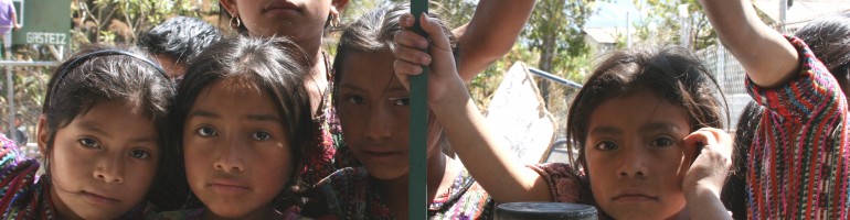
The Lake Atitlan area is a destination for the curious traveler and a major stop for many volunteer organizations such as Paso Por Paso. Many of the local Mayan people have retained their distinct culture, the views are spectacular and the weather is hard to beat. Combined with the relaxed atmosphere and a good tourist infrastructure, the towns and villages around the lake make an ideal destination.


